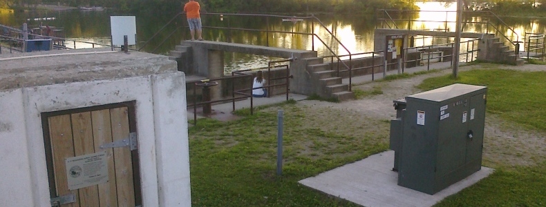
USGS 05429500 YAHARA RIVER AT MC FARLAND, WI
- LOCATION:
- Lat 43°00'32", long 89°18'18", in SW 1/4 sec.3, T.6 N., R.10 E., Dane County, Hydrologic Unit 07090001
- On left bank upstream from US Hwy 51 bridge, downstream of dam at outlet of L. Waubesa and 1.0 mi SW of McFarland
- DRAINAGE AREA:
- 327 square miles, 36.6 is non-contributing
- GAGE:
- Water-stage recorder. Datum of gage is 840.00 ft above sea level (NGVD 1929) (levels by WDNR).
- September 1930 to Dec. 22, 1934, nonrecording gage at same site at datum 0.40 ft higher.
- Dec. 23, 1934 to Sept. 30, 1982, recording gage at same site at datum 0.40 ft higher.
- REMARKS:
- This station managed by the USGS Wisconsin Water Science Center - Middleton WI

STREET VIEW: Click top right button to get full screen


