
INFOS
Integrated Nowcast/Forecast Operation System
for Yahara Lakes
Partnership
![]()


Hydrodynamic
We have integrated real-time hydrodynamic models into INFOS for the Yahara Lakes. The hydrodynamic models describe the motion of water within the lakes.
Nowcast Water Levels:
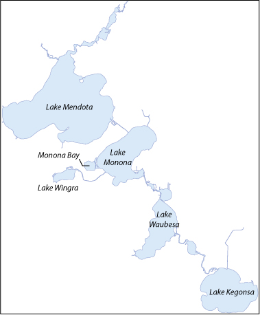
We have integrated a real-time, spatial water level model for the Yahara Lakes. For each lake we plot model time history of water levels across the lake. The model is supplied with real-time wind data so its role on conditions such as backwater, reverse river flows, and lake seiches are provided with the model.
Click on lake name below or map