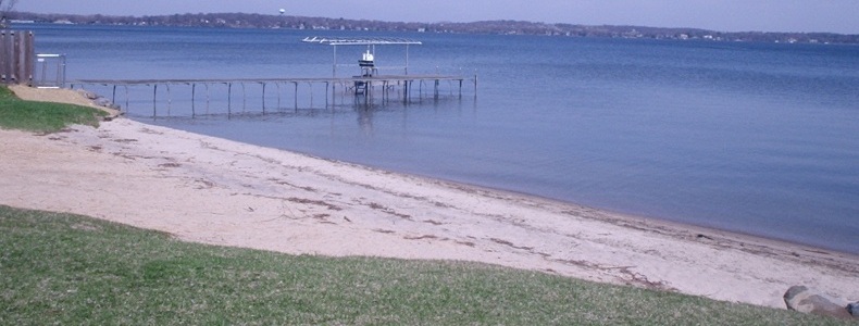
Spring Harbor - Lake Mendota
- ADDRESS:
- 1918 Norman Way, Madison
- DIRECTIONS:
- Near Spring Harbor Middle School off University Avenue
- DESCRIPTION:
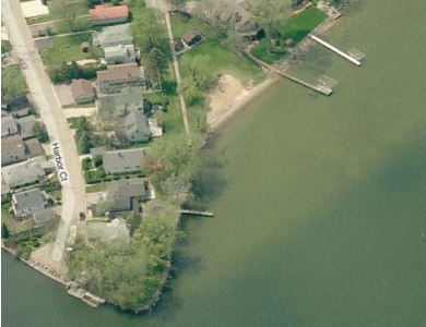
- A storm outfall near the Spring Harbor Beach drains a series of storm sewers from an area of approximately 2,160 acres and from as far away as West Towne Mall. The harbor
has filled with sediment from urban runoff and was last dredged in 1996. Merrill Springs, used by Native Americans as a healing spa, can be found several hundred yards from the
harbor.
From 2005 through 2009, Spring Harbor beach was closed 10 times (28 days total) for blue green algae, 5 times (16 days total) for bacteria, and 2 times (4 days total) for both blue green algae and bacteria.
- WATER QUALITY MONITORING:
- PHMDC


Image from Bing™ © Microsoft 2010
More information is available on the Public Health, Madison & Dane County website


