Bernie's Beach - Lake Monona
- ADDRESS:
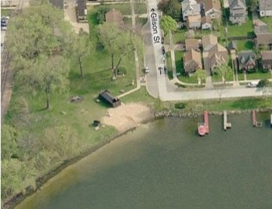
- 901 Gilson Street, Madison
- DIRECTIONS:
- On Monona Bay, near Franklin Elementary School
- DESCRIPTION:
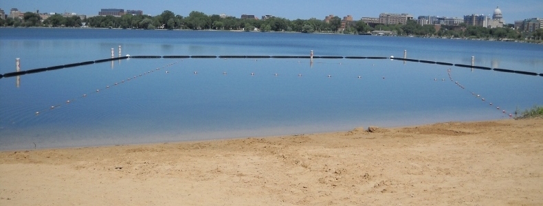
- Bernie's Beach is a small neighborhood beach situated in the southeast corner of Monona Bay. While there is not a large goose population present at the beach,
there is regularly evidence of their presence. The beach is approximately 68 feet long and 40 feet wide, with an average slope of 8.8%. There is a storm sewer
outfall located directly adjacent to the beach.
City Engineering staff has been regularly sampling water in the beach area (and other locations around Monona Bay) for the presence of blue green algae since 2005. The highest levels for blue green algae in this area tend to occur in the fall, after the beach has already closed for the season. Note that all Lake Monona beaches were closed for a week in 2008 due to a raw sewage release from an MMSD pumping station.
From 2005 through 2009, Bernie's Beach was closed 3 times (13 days) for high levels of blue green algae, and 3 times (7 days) for high bacteria levels. During this period, it was the second least closed city beach, after Vilas Beach. Preliminary analyses by DNR staff have shown there is a moderate correlation between rainfall and bacterial concentrations at this site. It is currently listed on the EPA's 303(d) list of impaired beaches for high bacteria levels.
Read about the pilot study to reduce algae scum at Bernie's Beach.
- WATER QUALITY MONITORING:
- PHMDC


Image from Bing™ © Microsoft 2010
More information is available on the Public Health, Madison & Dane County website


